(January 29, 2019 / Author Tim Bondy) This hike starts off on what is becoming a well maintain trail and then heads off-trail for the biggest part of the adventure. The trailhead is on the shores of Anderson Ranch Reservoir and heads northward along a series of ridgelines between Wilson Creek and Evans Creek in southwestern Idaho. It’s a strenuous hike.
Link to Story Photo: https://photos.app.goo.gl/qrmn1ZPB1iQkPG2H6
Introduction to the Wilson Flats ‘East’ Peak 6006
Wilson Flats East is one of my favorite hikes. I’ve never seen another person on the flats nor the ridgeline leading to up to self-named Peak 6006. The official Wilson Flats trail was getting widened for ATV use during the summer of 2018 after the flash flood of 2013 and subsequent closure. You should expect a large increase in both foot and motorized traffic.
Introduction to the Wilson Flats ‘East’ Peak 6006 Trip Report Basic/Stats
Adventure Date: 12 Sept. 2018
Consider Doing it Again?: Yes – It’s a Favorite.
Trailhead: 43.380867, -115.436823
Turn-Around Point or Furthest Out Point: 43.401602, -115.438311 (Peak 6006)
7.5 Topo Maps: House Mountain
Land Ownership: From the trailhead and northward for about 1/3 of a mile is Bureau of Reclamation (BOR) land. The rest of this hike in National Forest Service managed lands.
Dates of Previous Hikes in This Area: May 9, 2018, but there have been other previous attempts
Mileage: 4.28 miles
+Vertical Feet: 2,003 vertical feet
Avg Slope from Google Earth Vertical Profile of the GPX File: 16.0%
Google Photo Album Link: https://photos.app.goo.gl/zktGj2fUv7fGYHx17
Google Earth KMZ: ANDER – Hike – Wilson Flats East – Refined.kmz (local file)
GPX File Name: 20180913-121452.gpx (local file)
Driving Time to Trailhead: About 30 miles and 45 minute drive.
Summary of Hike: This hike is a strenuous hike that is close to home with good trailhead parking. I’ve hiked in this area many times and the trailless east ridge up to Peak 6006 is my favorite.
I have discovered the route I took, both up and down, to the flats portion is about the best route to take. The only exception is when getting into the trees, I should have just powered up instead of trying to find a trail through that forest and its undergrowth. The rest of the hike is pretty straightforward.
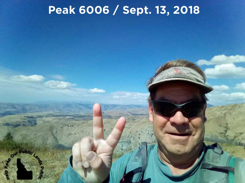
This September 16, 2018 hike was the first time I have “summited out” at the highest point on the ridgeline. There are other lower and further peaks to attain to the north. Self-named Peak 6006 has been conquered!
“Self-named Peak 6006 has been conquered on Sept. 13, 2018!”
I found signs of a bear on this hike with berry filled scat and large rocks pulled out of the ground. However, I didn’t see any big game on this hike so maybe hunting season has moved them to a more remote location.
I didn’t encounter anyone on the trail during the hike, however, there was a truck near the trailhead when I arrived and a different truck when I returned. And after the 2013 flashfloods scoured Wilson Creek canyon and its trail, the USFS has finally regraded the trail to a very wide “thing.” Since 2013 the trail has been a foot/horse only trail. The USFS is working toward making this an ATV trail in the near future. In the words of our infamous president, SAD!
Other routes up. There are other routes up to the ridgeline that contains Peak 6006 and other less prominent peaks I’ve never set foot on. I will explore those “ridgeline up” hikes in 2019.
Originally published elsewhere on October 4, 2018
Sincerely,
~ signed ~
Tim Bondy – Freelance Writer