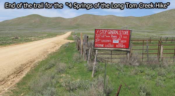

End of this hike!
(May 1st, 2012) Taking a scenic walk along Long Tom Creek seemed like a good idea. What I didn’t expect was to find was a number of natural springs feeding this creek. I took some pictures and video as well as geomarking the location of these springs. Why not come along on a review of the journey to the “4 Springs of the Long Tom Creek Area”.
NOTE: The video I took of these springs on May 1st were inadvertently deleted from my video camera. All videos in this article are from May 11th, 2012.
The Walk Along Prairie Cut-Off Road
This walk can be as short or long as you wish as it follows a relatively flat and well maintained gravel road. For our portion of the hike it also followed Long Tom Creek for all but ¼ of a mile. And the course is rather scenic as it flows through a relatively rugged canyon.

The course of this hike was on the “Prairie Cut-off Road” or National Forest Service Road 131 that connects Highway 20 to the South Fork of the Boise River at the Cow Creek Bridge. We also checked out the “2 Forks of Long Tom Creek during this hike. Obviously Long Tom Creek drains a pretty nice sized area of the Danskin Mountains.
The Springs
 |
| From 4 Springs of the Long Tom Creek Area |
Spring #1: Source of spring is located close to NFS 131 at 43.300955, -115.558080. The marshy growth close to the road is a dead giveaway of a spring close to this location. During this early May 2012 day, water was flowing down the hillside in no particular streambed. There is no indication on the USGS (old maps) Topo Maps of a spring at this location.
See a Video of Springs 1 and 2
Spring #2: Located about 375 yards north of Spring 1, this spring intersect the Prairie Cut-Off Road at
43.303937, -115.557467. But the spring source is likely located about 330 yards up the hillside to the east. The 1990 version of the Long Tom Reservoir USGS Topo Map indicates there is a spring at the location on the hillside.

Spring #3: This spring may or may not be a true spring. Water certainly flows down a streambed but its origins appear to be in the hillside at 43.308374, -115.562327. I would have missed this skinny watercourse, but my dog splashed through it and I decided to check it out.

I found it incredible that I saw what I thought was a fish in this small spring fed creek. After a few days of thought, I talked myself out of the “fish in the creek” idea. But when I went back 10 days later, I actually saw two fish in the 18 inch wide creekbed and caught them on video if you car to watch.
See a Video of Springs 3 and 4
NOTE: Google decided to take the “shakes” out of the video and now the video does the hula dance. 
Spring #4: Located at 43.307334, -115.557481 and just off NFS Road 131, this spring is shown on the 1990 version of the Long Tom Reservoir USGS Topo Map. It is my guess this spring consists of 2 or more parts as the soggy wet area is about 150 feet across.

Map of Long Tom Creek Springs
View Larger Map
See more photos from this hike: https://picasaweb.google.com/112532322025941965882/4SpringsOfTheLongTomCreekArea?authuser=0&authkey=Gv1sRgCIPt0d2337nSKQ&feat=directlink
Comments Create Good Old Fashion Knowledge
Did you know about the springs along the Prairie Cut-off Road? Know of any other springs close to Mountain Home. Why not leave a comment or suggestion about this outdoor article. You never know what you and others may learn about Idaho, the Long Tom Reservoir area or NFS Road 131.
Thanks,
