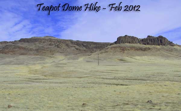
The Prelude to Failure of the Third Kind
(February 16th, 2012) This was my third failed attempt to sit on top of Teapot Dome.
- My 1st attempt was 1 year ago and you can read about that trip by clicking here. I did not have the lungs to make it all the way up to the top during that trip.
- My second attempt was in late 2011 and the snow and icy conditions scared me away before I got too far.
- This 3rd attempt I tried a different approach.
The Hike “Very Close To” Teapot Dome
My plan was to park as close to the peak as I could and attack my nemesis peak almost head-on. So I parked just off Hot Springs Road (43.165376, -115.528147) and headed northeast straight towards Teapot Dome. If you don’t know about this geologic feature, it’s an elongated butte that rises rapidly once you get to the base of it.

I chose a steep draw I found on Google Earth to get to the saddle below the peak. You know, the best laid plans and all. And this draw was likely the best path up this mountain. It was as steep as I figured and climbing up it took a lot out of me.

Once on the saddle, I headed straight toward the peak itself. This portion of the hike was supposed to be easy and in retrospect it really was. Just a gradual climb and then a very short section of steeper terrain was all it would have taken. Instead I gave up less than 200 yards and 149 feet of elevation from the peak. Oh well, I’m not disappointed I gave up…disappointed is way to mellow of a word.
The Stats
- Total Hiking Mileage: 2.43 miles
- Elevation Gain/Loss: 863 feet
- Average Slope of Hike: about 13.25%. I’m more comfortable in the 8% range I guess.
- Highest Elevation during the hike: 4,564 feet. Teapot Dome’s elevation is (Google Earth) is 4,713
- Distance from Mountain Home to Parking Spot: 12 miles
- Number of foul words used when I called it quits: 2,147,204 give or take a few.
Share this story with Friends
There are buttons at the end of this article. Google +, Twitter and Facebook buttons to easily share with your on-line social media folks. Give them a try or leave a comment.
Thanks,


