
Click picture for bigger version
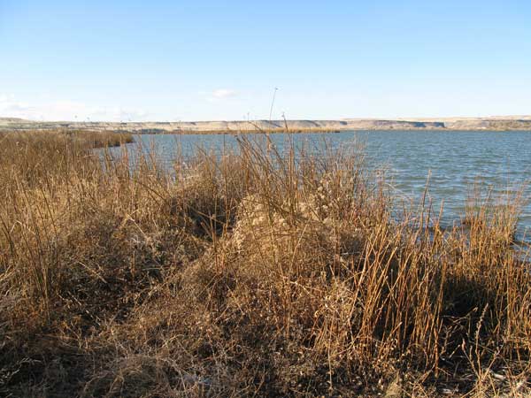
(15 November 2011) The Loveridge Snake River Hike was quite nice for a 2 hour door-to-door outing. Located on the south side of the Snake River the hike follows the Oregon Trail Road through BLM lands. Clocked in at just under 2.8 miles and 1 hour of walking, my dog Addie and I enjoyed the views around the Snake River and an impressive number of birds. Addie enjoyed the birds much more than I did.
Where: 42.933771, -115.753399
View Loveridge Snake River Hike in a larger map
Download the Google Earth File (.kmz): https://docs.google.com/open?id=0B33dZhQY3StONzY5ODU2ZWYtZGE5Yi00YzUxLWI0Y2UtYzI3MTdhZjRhYTlm
Considering the assumed heavy fishing pressure this area gets, I was quite surprised by how clean and trash free the hike was. The main dirt road is likely a good place to hike even during wet periods but getting off on one of the 5 roads that head to the river? I’d say it would get quite muddy.
While hiking off trail, I found one Oregon Trail marker. I did not see any evidence of the trail like I’ve seen in other places but it was in a marshy area with heavy undergrowth. From what I’ve read, there are some easily viewable rutted trails from our past on the east side of Highway 51.
Click HERE for Part 1 of this “Short Hike Close to Mountain Home” series.
Enjoy,
