
Click for a bigger photo
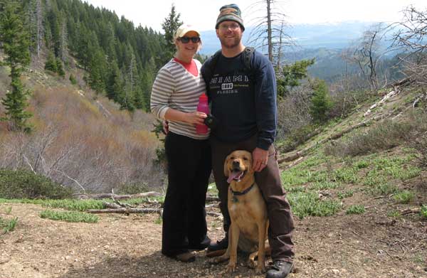
On May 31st, 2011 I took the kids (Erica and Kelly) into Fall Creek area north of the Anderson Ranch Reservoir for a hike. I’ve never been in this particular area so I was excited about this new adventure. The place we chose was Camp Creek Trail Number 177 and it was a great place to explore.
How to get to Camp Creek from Mountain Home
The Camp Creek trailhead is about 28 miles northeast of Mountain Home, Idaho as the crow flies or about 42 miles using the tradition motor vehicle mode of transportation 
The quickest way to get there is:
1. Head north out of Mountain Home on Highway 20 and cross the Anderson Ranch Dam.
2. Head northeast on Anderson Dam Road until you get to the Fall Creek Resort.
3. Head north on Trinity Mountain Road.
4 .Just before the Ice Springs Campground hang a sharp right and head south and east to the trailhead at 43.47614, -115.357965
Some Pictures of the Hike: https://picasaweb.google.com/tim.bondy/CampCreekTrail177?feat=directlink
Camp Creek Valley Hike
This trail is well marked/easy to follow from the trailhead up to about the halfway point of our 6 mile out and back hike. At the halfway point, the trail becomes “braided” with trails forking off in a few different directions. I think they all end up in the same place…a saddle that forms the headwaters of Camp Creek and our destination for this hike.
Camp Creek Trail No. 177 is designated for use by motorcycles, horses, mountain bikers as well as hikers. At 43.496239, -115.356922 I believe it becomes “Non-Motorized Vehicle” so no more motorcycles and conditions get a little more primitive and steep.

We took the trail less traveled at that point as it heads “more or less” straight up the headwall of the valley. Less traveled means there are large downed trees blocking the trail in places but easy enough to climb over, under or scramble around. We gained over 700 feet in elevation in the last 0.67 miles of the hike up to the saddle.
Once up on the saddle of the trail at 43.503306, -115.353156 the views are excellent. The view back down the valley includes Bennett Mountain, Little Camas Reservoir, and even a small sliver of Anderson Reservoir. Looking northward, the still snow cover Dog Mountain and “The Trinities” can be seen.

The Stats of Our Hike
Total Distance: 6.09 miles
Elevation Gain/Loss: 2,254 feet
Highest Elevation: 6,544 feet
Max Slope: 46% while heading up the headwall on the trail.
Snow Cover: Some snowbanks on the trail in shady areas.
Bugs: Almost non-existent.
Animals Seen: Just birds and a lizard.
Comments
Want more information about this great hike? Leave a comment or use my Contact Us page.
