
(April 20, 2019 / Author: Tim Bondy) This is my trip report from an April 17, 2019, hike on a ridgeline above Wilson Flats and Anderson Ranch Reservoir in southwestern Idaho. My goal was to summit out on Peak 6355 but I knew I wouldn’t be able to stand on that peak on this day. My early season conditioning and snow were both a factor in not reaching the summit. I did make it to Peak 5675, however. I’ve found this is one of the best cross country hikes in the area.
Featured Image Info: Geotagged at 43.386757, -115.444359 / Elevation 5,102 feet / Looking northwest towards Peak 6355 / https://photos.app.goo.gl/meSTFVTTVv9Zwaaz7
The Ridgeline Hike
I have hiked this same ridgeline above Anderson Ranch Reservoir quite a number of times. The views are awesome and the challenge of standing on Peak 6355 someday makes this a “favorite” hike and why I keep coming back for more.
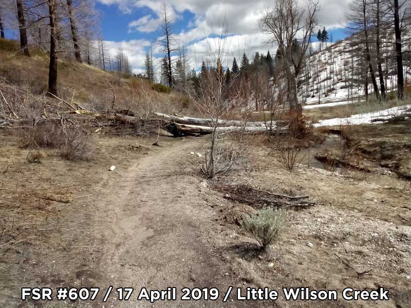
The hike starts at the official Boise National Forest Wilson Creek Trailhead / FSR #606 on the banks of the reservoir. It then follows Wilson Creek for about one-half mile before heading up to Wilson Flat. Once you get near the “flats,” you’ll have options. My option on this and most of the previous hikes was to head north, cross country, up the ridgeline between Wilson Creek and Little Wilson Creek. This ridgeline leads to Peak 6355.
“This is one of the nicest cross country hiking area in southwestern Idaho.” ~ Tim Bondy
How Close to Peak 6355 did I get?
My turnaround point … Or where I got too tired to continue was at 43.393949, -115.457199. That put me about nine-tenth of a mile and 930 vertical feet short of summiting out on Peak 6355. Peak 6355 is located at 43.400167, -115.471303 and was snowbound on this day. I knew when I first saw the peak on this hike I wouldn’t be getting up there. The approach is steep and snow cover would have made it impossible to scrambled up.
Wilson Flats Ridgeline Stats for the 17 April 2019 Hike
- Adventure Date: April 17, 2019
- Consider Doing it Again?: Yes
- Trailhead: 43.381043, -115.436755
- Turn-Around Point or Furthest Out Point:
- 7.5 Topo Maps: House Mountain but Anderson Ranch Dam might be a good map to have also.
- Trail/Road #: Trailhead FSR #606 and #607
- Mountain Range(s) Involved: Fall Creek Mountains (Self-named)
- Health of Local Environment – [Excellent / Good / Fair / Bad / Horrible]: Good
- Land Ownership: The Bureau of Reclamation (15%) and the Boise National Forest. 100% public lands.
- Wildlife: Marmots and many raptor-type bird.
- Mileage: 4.66 miles
- +Vertical Feet: 1,771 feet
- Avg Slope from Google Earth Vertical Profile of the GPX File: 13.5%
- Google Photo Album Link: https://photos.app.goo.gl/J5f77hXZZNB2TvaZ8
- Google Earth KMZ: ANDER – Hike – Wilson Flats-Peak 6355 – Refined (local file only)
- GPX File Name: 20190417-130240.gpx (local file only)
- Driving Time to Trailhead: 45 minutes
- Peak 6355: 43.400167, -115.471303
NOTE: I refer to Wilson Flat as Wilson Flats … with an “s” because it also includes the small flat on the east of Wilson Creek and it just rolls off the tongue better, too.
This story was originally published on April 20, 2019.
Thanks,
~ signed ~
Tim Bondy
Freelance Writer & Citizen Journalist