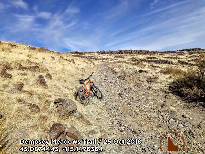
(February 27, 2019 / Author: Tim Bondy) The Dempsey Meadow trail is located just north of King Hill and Glenns Ferry, Idaho. While there is a lot of dirt road riding starting at the trailhead, once you get close to the Wilderness Study Area, the road turns into a pretty challenging doubletrack that has many eroded sections and rock gardens to pick through. I’ll be back to Dempsey again late next summer or early autumn.
Link to photo: https://photos.app.goo.gl/h6tHQdErDG6KRGw58 at 43.0874443, -115.1476364
What About the Dempsey Meadows Mountain Bike Ride
I’ve been on this trail twice and both times the furthest north I could make it was up on the escarpment above, or north, of Hog Creek Springs. Both times were also in the early fall so the trail was dry. I suspect the trail would be quite muddy during the spring and early summer, so that’s something to consider before heading up Dempsey Meadows.
Dempsey Meadows Ride Stats
- Adventure Date: October 25, 2018
- Consider Doing it Again?: Yes
- Trailhead: 43.033714, -115.167234
- Turn-Around Point or Furthest Out Point: 43.108159, -115.155945
- 7.5 Topo Maps: “King Hill” and a possibly a sliver of “Deer Heaven Mountain”
- Trail/Road #: BLM identified road “DEMPSEY MEADOW #2002
- Land Ownership: BLM lands but borders on some State land
- Mileage: 13.7 miles
- +Vertical Feet: 1,869feet
- Avg Slope from Google Earth Vertical Profile of the GPX File: 5.0%
- Google Photo Album Link: https://photos.app.goo.gl/7k5fkRk38oh9wZsy7
- Google Earth KMZ: BENN – Bike – Dempsey Meadows – King Hill (local file only)
- GPX File Name: 20181025-124918.gpx (local file only)
- Driving Time to Trailhead: 50 minutes to a safe place to park
Future Ride Recommendations: Start riding/trailhead at 43.081669, -115.144198. Starting at that point would allow me to get further into “virgin” territory.
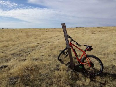
Link to Photograph: https://photos.app.goo.gl/d7VhhB5HKXVV56NA8
Info on the King Hill Creek Wilderness Study Area: This study area encompasses about 29,300 acres in southeastern Elmore County, Idaho. In short, the study area was not recommended to be converted into a wilderness area and that it should be released for “other than wilderness uses.” I believed this determination was made in 1988. Maybe someday, I’ll do proper research into wilderness study area rules & regulations.
To read more about this isolated tract of high desert and canyonland, download a copy of a 10 page BLM documents. The document was available as of Feb. 26, 2019 at
https://eplanning.blm.gov/epl-front-office/projects/nepa/36671/43543/46684/Vol2_King.Hill.Creek.pdf
Many times these documents get moved and online links will break or disappear.
Originally posted at Tim Bondy Writes (https://timbondy.blogspot.com/) on January 7, 2019
Thanks,
~ signed ~
Tim Bondy
Freelance Writer & Citizen Journalist
.
“Life begins at the end of your comfort zone.” ~ Neale Donald Walsch