(February 17, 2019 / Author: Tim Bondy) The Bennett Creek doubletrack trailhead is located about 12 miles east of Mountain Home. This is the second time I have ridden this trail located in the Mount Bennett Hills of southwestern Idaho. It’s a rather popular area for bird hunters and cows but don’t expect a lot of traffic once you get away from the county road at the trailhead … At least mid-week. The Bennett Creek trail is not a graded road by any means and the gradient/slope was above my 2018 fitness levels at 5.9%.
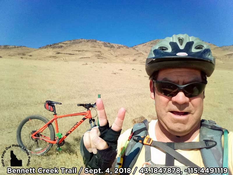
Coordinates and link to the featured image: 43.1847878, -115.4491119 & https://photos.app.goo.gl/n223QqgkKbXeCXz37
Bennett Creek Trail Ride Trip Report Basic/Stats
- Adventure Date: 4 Sept. 2018
- Consider Doing it Again?: Yes
- Trailhead: 43.124964, -115.449818 just off Rye Grass Road
- Turn-Around Point or Furthest Out Point: 43.184773, -115.448988
- 7.5 Topo Maps: Bennett Mountain
- Land Ownership: This particular ride started on State land and then transitions back and forth between BLM and State lands. If you continue to the northwest past Thorn Creek and then Willow Creek and a then a few more miles of riding, you’ll hit private property. As of this ride, I have never been past Thorn Creek.
- Dates of Previous Rides on This Trail: 21 June 2018
- Mileage: 9.9 miles
- +Vertical Feet: 1,379 feet
- Avg Slope from Google Earth Vertical Profile of the GPX File: 5.9%
- Google Photo Album Link: https://photos.app.goo.gl/dTJk5JK6zScNUW918
- Google Earth KMZ: BENNETT – Bike – Bennett Creek from Hot Creek (local file only)
- GPX File Name: 20180904-135218.gpx (local file only)
- Driving Time to Trailhead: About 30 minutes and 18 miles
Summary of Ride: This ride starts in a pretty bad environment full of cheatgrass and trash but the trash decreases as it runs northwest along the southwestern flanks of Bennett Mountain. The scenery also progressively gets better the further north you ride.
The doubletrack is rough and tumble and it’s also steep as proven by the overall 5.9% slope of this ride I did. Expect to do some “bike pushing” on this route. Experience from my last ride on the trail tells me you should expect to walk down the steep and loose trail into the Thorn Creek canyon.
Cheatgrass on this Sept 4, 2018 ride was quite virulent and seemed to jump off the stalks and attach to my socks and get caught up in my shoes if I got close to the stuff. There are not many places you aren’t close to cheatgrass on this ride. In short, wear disposable socks.
“This ride could be done pretty much year-round except during the hottest and coldest periods.” ~ Tim Bondy
This is a good, close to home ride that is strenuous and quite technical in places, at least for my mountain biking skills at this time. So, I’ll be riding this again in the future.
Originally published elsewhere on September 12, 2018
Sincerely,
~ signed ~
Tim Bondy – Freelance Writer
“Life begins at the end of your comfort zone.” ~ Neale Donald Walsch