Terrible Maps – Motorized Traffic Closure Ordered by BLM from the Hot Tea Fire The end of August 2010 saw a 5,500 acre fire erupt north of Mountain Home Idaho. The Hot Tea Fire was fought by at least 5
Read More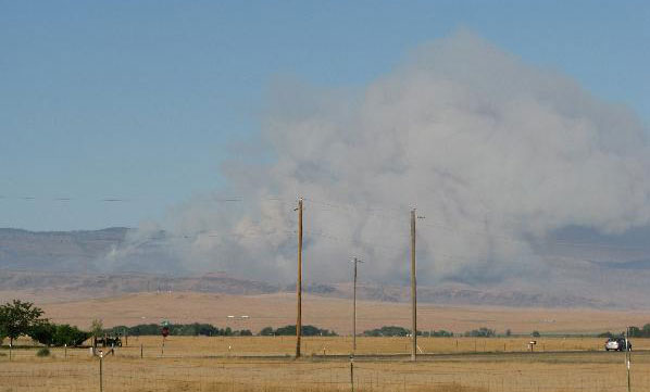

Terrible Maps – Motorized Traffic Closure Ordered by BLM from the Hot Tea Fire The end of August 2010 saw a 5,500 acre fire erupt north of Mountain Home Idaho. The Hot Tea Fire was fought by at least 5
Read More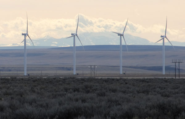
Mountain Home Photo of the Day Click to see a larger photo Photo Information: Location: Bennett Road Extension outside of Mountain Home, Idaho in Elmore County Latitude/Longitude of Photo: 43.081295, -115.471225 Link to Map: Click here View Direction: Looking south
Read More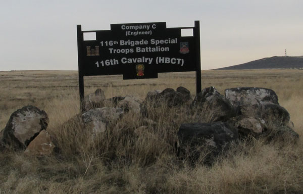
Color Me Stupid and Hang Me on the Clueless WallOkay, I’ve been living in Mountain Home Idaho for 3 years. I didn’t know there was a Army National Guard Post located here. Company C , 116th Brigade Special Troops Battalion
Read More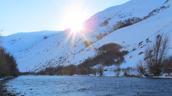
Click for larger picture On Saturday January 8th, 2011 I headed up to the South Fork of the Boise River below Anderson Dam. My main objectives were to determine if my new Plott Hound dog is a “water dog” and
Read More
I bought a new Canon SX130 Digital Camera on January 5th, 2010. This replaces my old Canon PowerShot A570 digital camera. As I have only used this new 12 megapixel, “point and shoot” camera a few times, I don’t have
Read More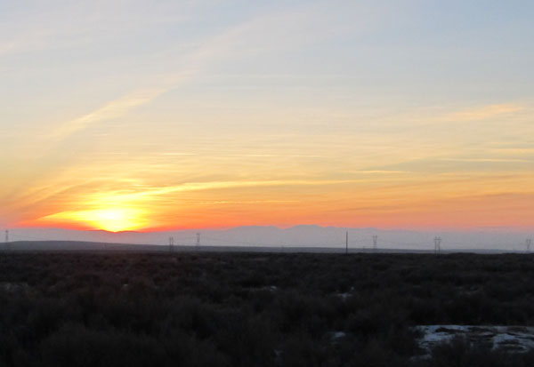
Walking the Dog on Canyon Creek Road as the Sun Sets over the Owyhee Mountains Click for a larger photo. Friday, January 7th, 2011: Took my dog, Addy for a walk on Canyon Creek Road north of Mountain Home, Idaho
Read More