Easy hike with lots of quartz, some opal and a few vugs.
 |
Peak 4439 is located just west of Birch Creek Road (aka Pixley Creek Basin Road?) so it’s rather easy to get there. While this hike looked a little more strenuous on a topo map and/or Google Earth, it twas a rather easy hike. This turned out to be a rather cool hike as the rocks in this area were interesting and semi-collectible.
 |
Animals Encountered
While driving in on Mud Flat Road, I paced a small herd of antelope in my car. They were running parallel to the road over rough, uneven land at 25-30 mph. Amazing creatures! On my hike up a saddle near Peak 4439, I saw a herd of mule deer on a ridge above me. They were walking in single file and watching me closely. I’d say there were about 15-20 deer in this herd. There were a few jack rabbits, flies, ants and plenty of coyote signs.
Views
The usual scenic views can be had on this hike. Being a peak on the edge of the "Owyhee Front", the Snake River Valley spreads out to the north while the rugged and snow capped mountains dominate the view to the south. While the landscape isn’t particularly beautiful, the longer range views more than make up for the very dry and sandy sagebrush steppe vegetation on this mountain.
 |
Rock Hounding
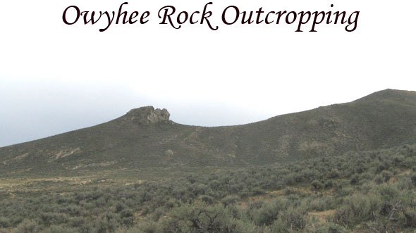
This mountain is quite interesting geologically speaking. It wasn’t long before I encountered large chunks of bright white quartz and smaller pieces of common opal. There are also some cool looking rock outcroppings that are not the usual rhyolite that is so common in this region. A closer examination of the a few of these outcroppings revealed large seams or vugs with opal and other unidentified darker type quartz rocks.
Top Map of Peak and Some Photos of Hike Links
 |
| Click image to see map |
 |
| Click image to see map |
Thanks for visiting and commenting on this story.
Tim Bondy
The Bondyweb.Com author

